
龙头山 topographic map
Interactive map
Click on the map to display elevation.
About this map
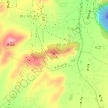
Name: 龙头山 topographic map, elevation, terrain.
Location: 龙头山, 西孤山, 铁东区, 鞍山市, 辽宁省, 中国 (41.04424 123.03674 41.04434 123.03684)
Average elevation: 305 ft
Minimum elevation: -256 ft
Maximum elevation: 581 ft