
Steimbke topographic map
Interactive map
Click on the map to display elevation.
About this map
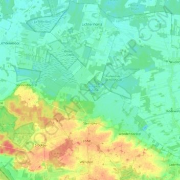
Name: Steimbke topographic map, elevation, terrain.
Average elevation: 108 ft
Minimum elevation: 62 ft
Maximum elevation: 210 ft
Other topographic maps
Click on a map to view its topography, its elevation and its terrain.
Steyerberg
Duitsland > Nedersaksen > Landkreis Nienburg/Weser
Steyerberg, Landkreis Nienburg/Weser, Nedersaksen, 31595, Duitsland
Average elevation: 128 ft