
Stadskanaal topographic map
Interactive map
Click on the map to display elevation.
About this map
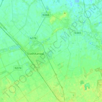
Name: Stadskanaal topographic map, elevation, terrain.
Location: Stadskanaal, Groningen, Niederlande (52.91904 6.86129 53.07370 7.10008)
Average elevation: 16 ft
Minimum elevation: -7 ft
Maximum elevation: 79 ft