
Hoge Blekker topographic map
Interactive map
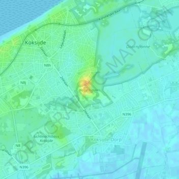
Click on the map to display elevation.
About this map
Name: Hoge Blekker topographic map, elevation, terrain.
Average elevation: 20 ft
Minimum elevation: -3 ft
Maximum elevation: 89 ft
Other topographic maps
Click on a map to view its topography, its elevation and its terrain.
Oostduinkerke
Oostduinkerke, Coxyde, Furnes, Flandre-Occidentale, Flandre, Belgique
Average elevation: 7 ft