
Greenough topographic map
Interactive map
Click on the map to display elevation.
About this map
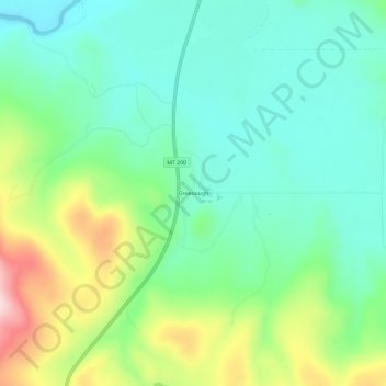
Name: Greenough topographic map, elevation, terrain.
Location: Greenough, Missoula County, Montana, USA (46.89660 -113.45675 46.93660 -113.41675)
Average elevation: 3,914 ft
Minimum elevation: 3,632 ft
Maximum elevation: 4,557 ft