
Shell topographic map
Interactive map
Click on the map to display elevation.
About this map
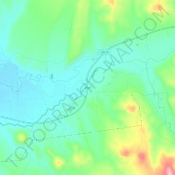
Name: Shell topographic map, elevation, terrain.
Average elevation: 4,321 ft
Minimum elevation: 4,150 ft
Maximum elevation: 4,754 ft
Other topographic maps
Click on a map to view its topography, its elevation and its terrain.
Lovell
Stati Uniti d'America > Wyoming > Big Horn County
Lovell, Big Horn County, Wyoming, 82431, Stati Uniti d'America
Average elevation: 3,855 ft