
Hügelsheim topographic map
Interactive map
Click on the map to display elevation.
About this map
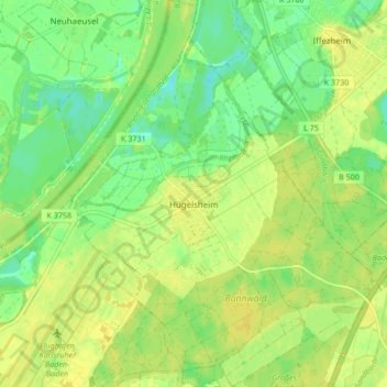
Name: Hügelsheim topographic map, elevation, terrain.
Average elevation: 394 ft
Minimum elevation: 354 ft
Maximum elevation: 420 ft
Other topographic maps
Click on a map to view its topography, its elevation and its terrain.
Bühl
Germany > Baden-Württemberg > Landkreis Rastatt
Bühl, Vereinbarte Verwaltungsgemeinschaft Bühl, Landkreis Rastatt, Baden-Württemberg, 77815, Germany
Average elevation: 928 ft