
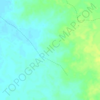
La Caiba topographic map
Interactive map
Click on the map to display elevation.
About this map
Name: La Caiba topographic map, elevation, terrain.
Location: La Caiba, Riohacha, La Guajira, Colombie (11.38744 -73.03652 11.40744 -73.01652)
Average elevation: 46 ft
Minimum elevation: 20 ft
Maximum elevation: 82 ft