
马鞍山市经济技术开发区 topographic map
Interactive map
Click on the map to display elevation.
About this map
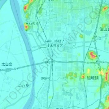
Name: 马鞍山市经济技术开发区 topographic map, elevation, terrain.
Location: 马鞍山市经济技术开发区, 雨山区, 马鞍山市, 安徽省, 243071, 中国 (31.57272 118.46270 31.67724 118.58574)
Average elevation: 43 ft
Minimum elevation: -13 ft
Maximum elevation: 502 ft
Other topographic maps
Click on a map to view its topography, its elevation and its terrain.