
Narre Warren topographic map
Interactive map
Click on the map to display elevation.
About this map
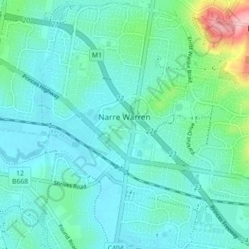
Name: Narre Warren topographic map, elevation, terrain.
Location: Narre Warren, Harkaway, City of Casey, Victoria, Australia (-38.04426 145.28344 -37.99479 145.33141)
Average elevation: 138 ft
Minimum elevation: 46 ft
Maximum elevation: 574 ft
Other topographic maps
Click on a map to view its topography, its elevation and its terrain.