
Sealy topographic map
Interactive map
Click on the map to display elevation.
About this map
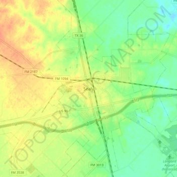
Name: Sealy topographic map, elevation, terrain.
Location: Sealy, Austin County, Texas, 77474, United States (29.73899 -96.19684 29.81899 -96.11684)
Average elevation: 184 ft
Minimum elevation: 121 ft
Maximum elevation: 246 ft