
Coffee Pot Park (Downtown Park) topographic map
Interactive map
Click on the map to display elevation.
About this map
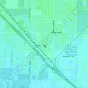
Name: Coffee Pot Park (Downtown Park) topographic map, elevation, terrain.
Average elevation: 305 ft
Minimum elevation: 295 ft
Maximum elevation: 312 ft