
Estradas topographic map
Interactive map
Click on the map to display elevation.
About this map
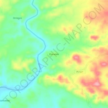
Name: Estradas topographic map, elevation, terrain.
Location: Estradas, Lancones, Sullana, Piura, Peru (-4.50868 -80.52894 -4.46868 -80.48894)
Average elevation: 630 ft
Minimum elevation: 440 ft
Maximum elevation: 919 ft