
Torito topographic map
Interactive map
Click on the map to display elevation.
About this map
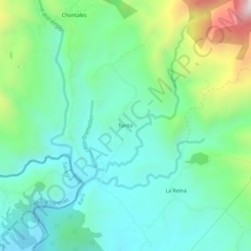
Name: Torito topographic map, elevation, terrain.
Average elevation: 942 ft
Minimum elevation: 266 ft
Maximum elevation: 2,864 ft
Other topographic maps
Click on a map to view its topography, its elevation and its terrain.
Catarata Nauyaca
Costa Rica > Cantón Pérez Zeledón > Barú
Catarata Nauyaca, Barú, Cantón Pérez Zeledón, Provincia San José, 11909, Costa Rica
Average elevation: 928 ft