
Jericho topographic map
Interactive map
Click on the map to display elevation.
About this map
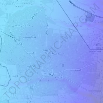
Name: Jericho topographic map, elevation, terrain.
Location: Jericho, Area A, West Bank, Palestinian Territories (31.84639 35.43413 31.88361 35.48281)
Average elevation: -801 ft
Minimum elevation: -968 ft
Maximum elevation: -463 ft
Other topographic maps
Click on a map to view its topography, its elevation and its terrain.
Sanur
Palestinian Territories > Area A
Sanur, Area A, West Bank, Palestinian Territories
Average elevation: 1,388 ft
Bethlehem
Palestinian Territories > Area A > Bethlehem
Bethlehem, Area A, West Bank, Palestinian Territories
Average elevation: 1,814 ft
Nablus
Palestinian Territories > Area A
Nablus, Area A, West Bank, Palestinian Territory
Average elevation: 2,116 ft