
Rohna topographic map
Interactive map
Click on the map to display elevation.
About this map
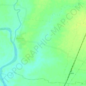
Name: Rohna topographic map, elevation, terrain.
Location: Rohna, Mohadi Taluka, Bhandara, Maharashtra, India (21.25374 79.67844 21.28883 79.71846)
Average elevation: 840 ft
Minimum elevation: 814 ft
Maximum elevation: 860 ft
Other topographic maps
Click on a map to view its topography, its elevation and its terrain.
Dongargaon
India > Maharashtra > Mohadi Taluka
Dongargaon, Mohadi Taluka, Bhandara, Maharashtra, India
Average elevation: 883 ft