
Windsor topographic map
Interactive map
Click on the map to display elevation.
About this map
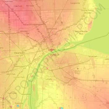
Name: Windsor topographic map, elevation, terrain.
Location: Windsor, Southwestern Ontario, Ontario, N9A 6P1, Canada (42.15674 -83.19734 42.47674 -82.87734)
Average elevation: 607 ft
Minimum elevation: 456 ft
Maximum elevation: 712 ft