
Wörthsee topographic map
Interactive map
Click on the map to display elevation.
About this map
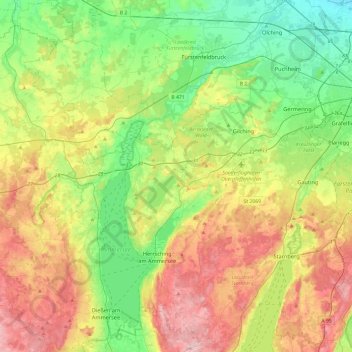
Name: Wörthsee topographic map, elevation, terrain.
Location: Wörthsee, Landkreis Starnberg, Bavière, 82237, Allemagne (47.91279 11.04055 48.23279 11.36055)
Average elevation: 1,932 ft
Minimum elevation: 1,598 ft
Maximum elevation: 2,464 ft