
舞阳县 topographic map
Interactive map
Click on the map to display elevation.
About this map
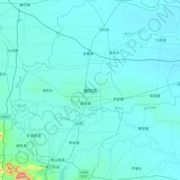
Name: 舞阳县 topographic map, elevation, terrain.
Location: 舞阳县, 漯河市, 河南省, 中国 (33.29878 113.45585 33.61878 113.77585)
Average elevation: 276 ft
Minimum elevation: 200 ft
Maximum elevation: 1,693 ft
Other topographic maps
Click on a map to view its topography, its elevation and its terrain.