
Río Bayano topographic map
Interactive map
Click on the map to display elevation.
About this map
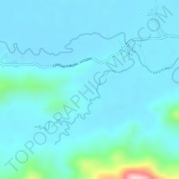
Name: Río Bayano topographic map, elevation, terrain.
Location: Río Bayano, Portobelo, Distrito Portobelo, Colón, Panamá (9.54113 -79.63175 9.55324 -79.61654)
Average elevation: 112 ft
Minimum elevation: -3 ft
Maximum elevation: 896 ft