
Karow topographic map
Interactive map
Click on the map to display elevation.
About this map
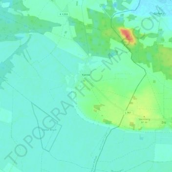
Name: Karow topographic map, elevation, terrain.
Location: Karow, Jerichow, Jerichower Land, Sachsen-Anhalt, Deutschland (52.30466 12.19061 52.37430 12.30809)
Average elevation: 138 ft
Minimum elevation: 102 ft
Maximum elevation: 276 ft