
Matang topographic map
Interactive map
Click on the map to display elevation.
About this map
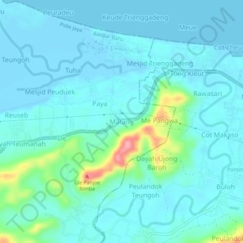
Name: Matang topographic map, elevation, terrain.
Location: Matang, Bandar Baru, Pidie Jaya, Aceh, Sumatra, Indonesia (5.24553 96.10572 5.28553 96.14572)
Average elevation: 59 ft
Minimum elevation: -13 ft
Maximum elevation: 397 ft