
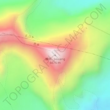
接响 topographic map
Interactive map
Click on the map to display elevation.
About this map
Name: 接响 topographic map, elevation, terrain.
Location: 接响, 色乡, 洛扎县, 山南市, 西藏自治区, 中国 (28.23679 90.56524 28.23689 90.56534)
Average elevation: 20,105 ft
Minimum elevation: 18,714 ft
Maximum elevation: 21,916 ft