
Sango topographic map
Interactive map
Click on the map to display elevation.
About this map
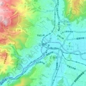
Name: Sango topographic map, elevation, terrain.
Location: Sango, Ikoma County, Nara Prefecture, Japan (34.58508 135.65012 34.61603 135.71213)
Average elevation: 390 ft
Minimum elevation: 79 ft
Maximum elevation: 1,335 ft