
Cantareira topographic map
Interactive map
Click on the map to display elevation.
About this map
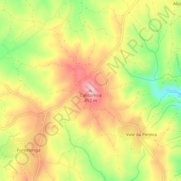
Name: Cantareira topographic map, elevation, terrain.
Location: Cantareira, Santo Andre das Tojeiras, Castelo Branco, Portugal (39.78582 -7.70710 39.78592 -7.70700)
Average elevation: 1,083 ft
Minimum elevation: 774 ft
Maximum elevation: 1,332 ft