
Lambertville city voting district 2, Hunterdon County, New Jersey topographic map
Interactive map
Click on the map to display elevation.
About this map
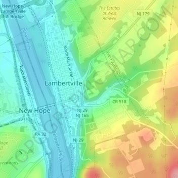
Name: Lambertville city voting district 2, Hunterdon County, New Jersey topographic map, elevation, terrain.
Average elevation: 190 ft
Minimum elevation: 43 ft
Maximum elevation: 463 ft