Geolocate

Lago Humantay topographic map

Click on the map to display elevation.

About this map

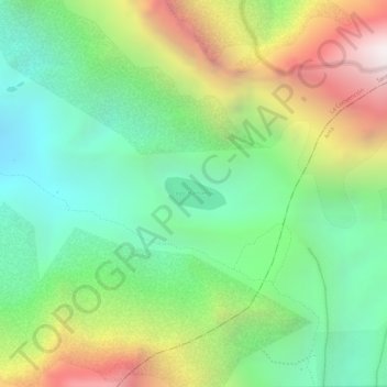
Name: Lago Humantay topographic map, elevation, terrain.

Location: Lago Humantay, Santa Teresa, Province of La Convención, Cusco, Peru (-13.34353 -72.57112 -13.34121 -72.56670)

Average elevation: 15,384 ft

Minimum elevation: 13,711 ft

Maximum elevation: 17,930 ft

Other topographic maps

Click on a map to view its topography, its elevation and its terrain.

Raqaypata

Peru > Cusco > Santa Teresa

Average elevation: 9,751 ft

Gear up for your next adventure:

🏕️Family Camping Gear - Essentials for group camping trips
🧢Sun Protection Hats - Wide-brimmed and UPF-rated hats for high-altitude sun safety
📖Nature Tracking Books - Learn to track wildlife and terrain
🌲Outdoor Survival Books - Best books on survival skills
🏥Hiking First Aid Kits - Comprehensive medical kits for remote trail injuries

As an Amazon Associate, this site earns from qualifying purchases at no extra cost to you.