
Raouraoua topographic map
Interactive map
Click on the map to display elevation.
About this map
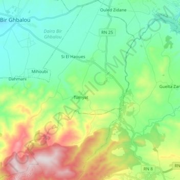
Name: Raouraoua topographic map, elevation, terrain.
Location: Raouraoua, Daïra Bir Ghbalou, Bouira, Algérie (36.15715 3.55340 36.27568 3.68258)
Average elevation: 2,713 ft
Minimum elevation: 1,969 ft
Maximum elevation: 4,455 ft