
Cherbourg-en-Cotentin topographic map
Interactive map
Click on the map to display elevation.
About this map
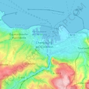
Name: Cherbourg-en-Cotentin topographic map, elevation, terrain.
Average elevation: 131 ft
Minimum elevation: -23 ft
Maximum elevation: 571 ft