Geolocate

Hot Springs topographic map

Click on the map to display elevation.

About this map

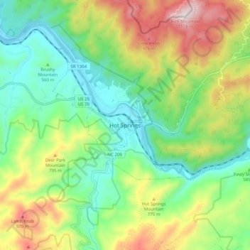
Name: Hot Springs topographic map, elevation, terrain.

Location: Hot Springs, Madison County, North Carolina, United States (35.85233 -82.86903 35.93233 -82.78903)

Average elevation: 2,103 ft

Minimum elevation: 1,263 ft

Maximum elevation: 3,612 ft

Madison County trails, hiking, mountain biking, running and outdoor activities

Gear up for your next adventure:

🔦Powerful Headlamps - Ultra-bright hands-free lighting for night navigation
💧Water Purification System - Clean water on the trail with reliable purifiers
Backpacking Tents - Weight-optimized shelters for multi-day topographic surveys
🪶Fire Starter Kit - Reliable fire starter for survival and camping
😴Insulated Sleeping Pads - Compact and warm pads for high-elevation camping

As an Amazon Associate, this site earns from qualifying purchases at no extra cost to you.