
Cuerámaro topographic map
Interactive map
Click on the map to display elevation.
About this map
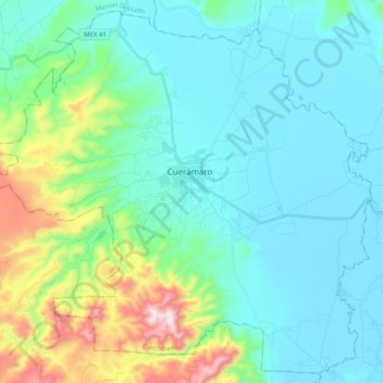
Name: Cuerámaro topographic map, elevation, terrain.
Location: Cuerámaro, Guanajuato, Mexico (20.52703 -101.77693 20.70361 -101.57753)
Average elevation: 6,053 ft
Minimum elevation: 5,538 ft
Maximum elevation: 8,196 ft