
Anjana Khadi topographic map
Interactive map
Click on the map to display elevation.
About this map
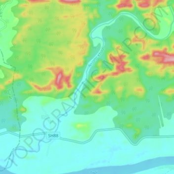
Name: Anjana Khadi topographic map, elevation, terrain.
Location: Anjana Khadi, Songadh Taluka, Tapi District, Gujarat, India (21.26806 73.44129 21.33307 73.51255)
Average elevation: 331 ft
Minimum elevation: 157 ft
Maximum elevation: 801 ft
Other topographic maps
Click on a map to view its topography, its elevation and its terrain.
Songadh
India > Gujarat > Songadh Taluka
Songadh, Songadh Taluka, Tapi District, Gujarat, 394670, India
Average elevation: 407 ft