
Cantallops topographic map
Interactive map
Click on the map to display elevation.
About this map
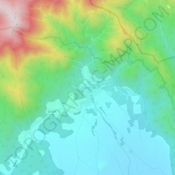
Name: Cantallops topographic map, elevation, terrain.
Location: Cantallops, Haut-Ampurdan, Gérone, Catalogne, 17708, Espagne (42.40357 2.90486 42.44357 2.94486)
Average elevation: 1,027 ft
Minimum elevation: 459 ft
Maximum elevation: 2,520 ft