Geolocate

Santhià topographic map

Click on the map to display elevation.

About this map

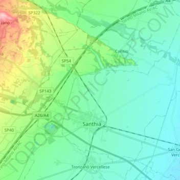
Name: Santhià topographic map, elevation, terrain.

Location: Santhià, Vercelli, Piedmont, 13048, Italy (45.34409 8.12283 45.42894 8.27345)

Average elevation: 643 ft

Minimum elevation: 522 ft

Maximum elevation: 1,073 ft

Other topographic maps

Click on a map to view its topography, its elevation and its terrain.

Alpe sn14

Italy > Piedmont > Vercelli > Boccioleto > Sella Bassa

Average elevation: 4,478 ft

Sn3

Italy > Piedmont > Vercelli > Boccioleto

Average elevation: 4,026 ft

Lago Bowditch

Italy > Piedmont > Vercelli > Alagna Valsesia

Average elevation: 9,006 ft

San Gottardo

Italy > Piedmont > Vercelli > Rimella

Average elevation: 5,033 ft

Mollie

Italy > Piedmont > Vercelli > Cellio con Breia > Mollie

Average elevation: 1,765 ft

sn3

Italy > Piedmont > Vercelli > Rassa

Average elevation: 6,014 ft

Gear up for your next adventure:

🛡️Insect Repellent - Protection against bugs during outdoor activities
📚USA Hiking Guide Books - Top trail guides and map books
📶Vehicle Signal Boosters - Improve reception in rural areas while driving to trailheads
🧤Hiking Gloves - Protective gloves for rugged trails
📦Gear Storage Bags - Organize and protect outdoor equipment

As an Amazon Associate, this site earns from qualifying purchases at no extra cost to you.