
Gogelao topographic map
Interactive map
Click on the map to display elevation.
About this map
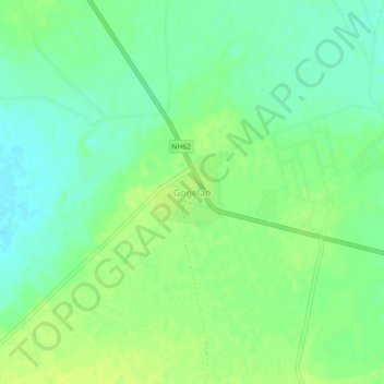
Name: Gogelao topographic map, elevation, terrain.
Location: Gogelao, Nagaur Tehsil, Nagaur, Rajasthan, India (27.21830 73.63290 27.25830 73.67290)
Average elevation: 978 ft
Minimum elevation: 948 ft
Maximum elevation: 997 ft