
Manebach topographic map
Interactive map
Click on the map to display elevation.
About this map
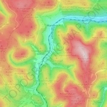
Name: Manebach topographic map, elevation, terrain.
Location: Manebach, Ilmenau, Ilm-Kreis, Thüringen, Duitsland (50.64389 10.81823 50.68970 10.86796)
Average elevation: 2,218 ft
Minimum elevation: 1,617 ft
Maximum elevation: 2,805 ft