
Altmärkische Höhe topographic map
Interactive map
Click on the map to display elevation.
About this map
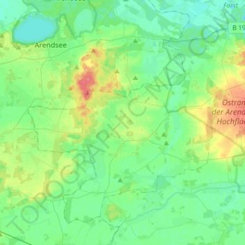
Name: Altmärkische Höhe topographic map, elevation, terrain.
Average elevation: 108 ft
Minimum elevation: 59 ft
Maximum elevation: 233 ft
Altmärkische Höhe ist eine kreisangehörige Gemeinde in der Verbandsgemeinde Seehausen (Altmark) im Landkreis Stendal in Sachsen-Anhalt.