
Jain topographic map
Interactive map
Click on the map to display elevation.
About this map
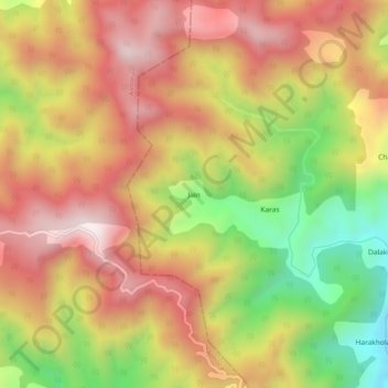
Name: Jain topographic map, elevation, terrain.
Location: Jain, Bāgeshwar, Bageshwar, Uttarakhand, 263642, India (29.75127 79.68439 29.79127 79.72439)
Average elevation: 5,719 ft
Minimum elevation: 4,245 ft
Maximum elevation: 6,870 ft