Geolocate

Tukod topographic map

Click on the map to display elevation.

About this map

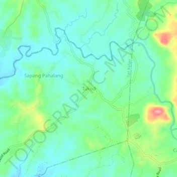
Name: Tukod topographic map, elevation, terrain.

Location: Tukod, San Rafael, Bulacan, Central Luzon, Philippines (14.97451 121.02935 15.01451 121.06935)

Average elevation: 259 ft

Minimum elevation: 157 ft

Maximum elevation: 538 ft

Gear up for your next adventure:

👖Convertible Hiking Pants - Versatile zip-off pants for changing altitudes and temperatures
📡GPS Antenna Upgrade - Enhance GPS reception in remote terrain
🧺Microfiber Travel Towels - Compact and fast-drying towels for trail use
☀️Outdoor Sunscreen - High protection sunscreen for outdoor activities
🪶Survival Guide Book - Expert advice for emergency preparedness

As an Amazon Associate, this site earns from qualifying purchases at no extra cost to you.