
Obermarpe topographic map
Interactive map
Click on the map to display elevation.
About this map
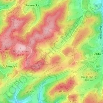
Name: Obermarpe topographic map, elevation, terrain.
Average elevation: 1,539 ft
Minimum elevation: 1,132 ft
Maximum elevation: 1,913 ft
Other topographic maps
Click on a map to view its topography, its elevation and its terrain.
Wenholthausen
Duitsland > Noordrijn-Westfalen > Hochsauerlandkreis > Eslohe > Wenholthausen
Wenholthausen, Eslohe, Hochsauerlandkreis, Noordrijn-Westfalen, 59889, Duitsland
Average elevation: 1,293 ft