
Thank you for supporting this site ❤️
Make a donation
Make a donation
Gear up for your next adventure:
As an Amazon Associate, this site earns from qualifying purchases at no extra cost to you.
Rurutu topographic map
Click on the map to display elevation.
Thank you for supporting this site ❤️
Make a donation
Make a donation
Gear up for your next adventure:
As an Amazon Associate, this site earns from qualifying purchases at no extra cost to you.
About this map
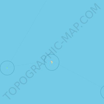
Name: Rurutu topographic map, elevation, terrain.
Location: Rurutu, Austral Islands, French Polynesia, 98753, France (-22.52517 -154.72268 -21.81186 -151.32098)
Average elevation: 0 ft
Minimum elevation: 0 ft
Maximum elevation: 863 ft
Thank you for supporting this site ❤️
Make a donation
Make a donation
Gear up for your next adventure:
As an Amazon Associate, this site earns from qualifying purchases at no extra cost to you.