
San Antonio River topographic map
Interactive map
Click on the map to display elevation.
About this map
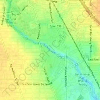
Name: San Antonio River topographic map, elevation, terrain.
Average elevation: 604 ft
Minimum elevation: 548 ft
Maximum elevation: 643 ft
Other topographic maps
Click on a map to view its topography, its elevation and its terrain.
San Antonio
United States > Texas > Bexar County > San Antonio
San Antonio, Bexar County, Texas, 78205, United States
Average elevation: 715 ft
Laurel Canyon
United States > Texas > Bexar County > San Antonio
Laurel Canyon, San Antonio, Bexar County, Texas, United States
Average elevation: 1,129 ft