
Rävatofta topographic map
Interactive map
Click on the map to display elevation.
About this map
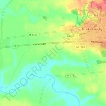
Name: Rävatofta topographic map, elevation, terrain.
Location: Rävatofta, Ängelholms kommun, Skåne County, 266 31, Sweden (56.23024 12.92542 56.27024 12.96542)
Average elevation: 72 ft
Minimum elevation: 3 ft
Maximum elevation: 177 ft
Other topographic maps
Click on a map to view its topography, its elevation and its terrain.
Ebbarp
Sweden > Skåne County > Ängelholms kommun
Ebbarp, Ängelholms kommun, Skåne County, 266 94, Sweden
Average elevation: 184 ft