
清水河 topographic map
Interactive map
Click on the map to display elevation.
About this map
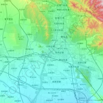
Name: 清水河 topographic map, elevation, terrain.
Location: 清水河, 闫家屯村, 张家口市, 河北省, 075000, 中国 (40.68140 114.81921 40.84548 114.89061)
Average elevation: 2,562 ft
Minimum elevation: 2,116 ft
Maximum elevation: 4,685 ft