
Place Jeanne Mance topographic map
Interactive map
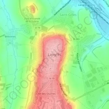
Click on the map to display elevation.
About this map
Name: Place Jeanne Mance topographic map, elevation, terrain.
Average elevation: 1,289 ft
Minimum elevation: 1,083 ft
Maximum elevation: 1,572 ft
Other topographic maps
Click on a map to view its topography, its elevation and its terrain.
Brévoines
France > Grand Est > Haute-Marne > Langres
Brévoines, Langres, Haute-Marne, Grand Est, France métropolitaine, 52200, France
Average elevation: 1,329 ft