
Malta topographic map
Interactive map
Click on the map to display elevation.
About this map
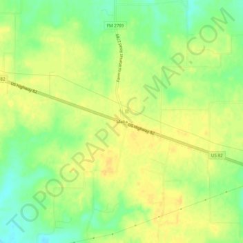
Name: Malta topographic map, elevation, terrain.
Location: Malta, Bowie County, Texas, United States of America (33.46817 -94.54215 33.50817 -94.50215)
Average elevation: 394 ft
Minimum elevation: 341 ft
Maximum elevation: 420 ft