
Dreiborner Hochfläche topographic map
Interactive map
Click on the map to display elevation.
About this map
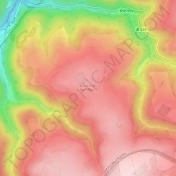
Name: Dreiborner Hochfläche topographic map, elevation, terrain.
Average elevation: 1,562 ft
Minimum elevation: 968 ft
Maximum elevation: 1,850 ft
Other topographic maps
Click on a map to view its topography, its elevation and its terrain.
Urft
Deutschland > Nordrhein-Westfalen > Schleiden
Urft, Schleiden, Kreis Euskirchen, Regierungsbezirk Köln, Nordrhein-Westfalen, Deutschland
Average elevation: 1,385 ft