
Lake Superior State Park topographic map
Interactive map
Click on the map to display elevation.
About this map
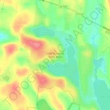
Name: Lake Superior State Park topographic map, elevation, terrain.
Average elevation: 1,319 ft
Minimum elevation: 1,198 ft
Maximum elevation: 1,460 ft
Other topographic maps
Click on a map to view its topography, its elevation and its terrain.
Mongaup Valley
United States > New York > Sullivan County > Town of Bethel
Mongaup Valley, Town of Bethel, Sullivan County, New York, United States
Average elevation: 1,247 ft