
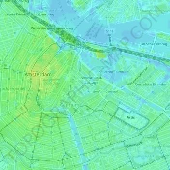
Oudeschans topographic map
Interactive map
Click on the map to display elevation.
About this map
Name: Oudeschans topographic map, elevation, terrain.
Average elevation: 20 ft
Minimum elevation: -7 ft
Maximum elevation: 46 ft
Other topographic maps
Click on a map to view its topography, its elevation and its terrain.
Amsterdam
Niederlande > Nordholland > Amsterdam
Amsterdam, Nordholland, Niederlande
Average elevation: 0 ft
Schellingwoude
Niederlande > Nordholland > Amsterdam
Schellingwoude, Amsterdam, Nordholland, Niederlande, 1023 NH, Niederlande
Average elevation: 3 ft
Sloten
Niederlande > Nordholland > Amsterdam
Sloten, Amsterdam, Nordholland, Niederlande, 1066 CZ, Niederlande
Average elevation: 0 ft