
Russell topographic map
Interactive map
Click on the map to display elevation.
About this map
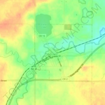
Name: Russell topographic map, elevation, terrain.
Location: Russell, Lyon County, Minnesota, United States of America (44.31223 -95.95810 44.32694 -95.93746)
Average elevation: 1,542 ft
Minimum elevation: 1,467 ft
Maximum elevation: 1,601 ft